Natisinahikaniwoc:Iran location map.svg

Taille de cet aperçu PNG pour ce fichier SVG : 672 x 600 pixels. Kotak erikokowactepiriki: 269 x 240 pixels | 538 x 480 pixels | 861 x 768 pixels | 1 147 x 1 024 pixels | 2 295 x 2 048 pixels | 1 200 x 1 071 pixels.
E otciparik masinahikaniwoc (SVG kinokewoc, erikokwactepirik 1 200 × 1 071 kawactecik, kinokewoc ehitakok: 299 kio)
Nosem
| E witcikemakak |
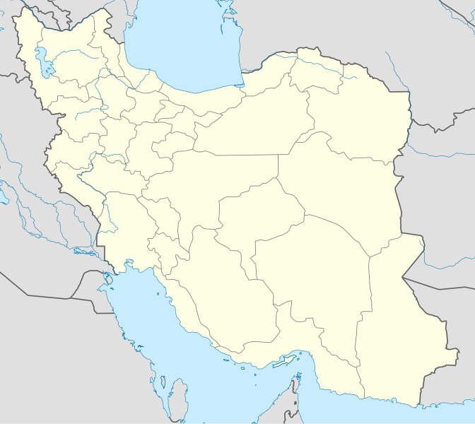
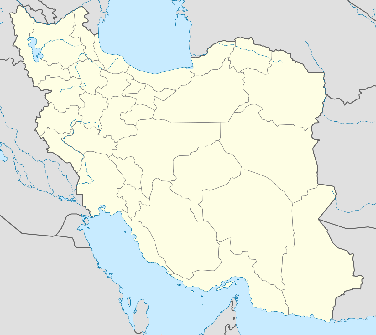
English: Location map of Iran.
Equirectangular projection. Stretched by 118.0%. Geographic limits of the map: * N: 40.0° N * S: 24.5° N * W: 43.5° E * E: 64.0° EMade with Natural Earth. Free vector and raster map data @ naturalearthdata.com. |
| Apitc | |
| Ite wetciparik | Tipirowe awik otamirowin |
| Ka ki masihiketc | Uwe Dedering |
| Autres versions |
Derivative works of this file:
|
| SVG information | Le code de ce fichier SVG n'est pas valide en raison d'une erreur. Cette carte W3C-invalide a été créée avec Adobe Illustrator, et avec Inkscape. |

Orocowatcikan
Moi, en tant que détenteur des droits d’auteur sur cette œuvre, je la publie sous les licences suivantes :
Matci ki ka natawapaten nihe masinahikaniwoc ite kotc e itasinahak kitci Attribution-Share Alike 3.0 natawapatcikaterik Creative Commons.
- Kir ka wi totaman:
- matanowe – tapasiniha,matanowe minawatc koski miriwe nohwe matcewin
- nanto tota – nanto meckotina matci ohwe otamirowin
- Ke nanakatcitain naheritamowin:
- ka ki wectatc – Patoc mia ki ka itasinahwaw ka itasinahotisotc nohwe ka ki ocitat ohweriw kekotc ma nohwe ka miwotatc masinihikaniw matci kata pakitanak ( nama nohwe ki ka apitcitan naheritamowin kekotc ma e ici wawitamaskw ke totaman.)
- Matonowesinaha – Kecpin e meckotcitaiin kekocic wiec e ki ici keskinawapataman ka ki itasinatekipan patam ki ka masinahen ite ka ki otcipataman kekotc ka ki otciparik kitci pakitinikatek kitci actakaniwok.

|
Ki mirikowin kata icinakotain nohwe towi,kekotc kata matanowewin,kekotc kata mameckotcisinahaman e itemakak e icinakok e pakitinikatekGNU Free Documentation License nohwe masinahikan1.2 kekotc ma nohwe ke pe aictakaniwok kecko masinihikan Free Software Foundation, aka e takok e nesitcictek e anoskwictakaniwok tipatcitcimowisinihikan ,aka e takok nictam paskickwemakan atisokan acit aka e takok mamitcit paskickemakan atisokan. E icinakositc e karokitasonaniwok nta ici ntowapatcikatew GNU Free Documentation License. |
Matci peikw orami ke okaromin neki ka karokitasonaniwok.
E itatisokemakak masinahikaniwoc
Ota ici nta makona e tatokonikisitc acitc e tato tipahikaneak kitci wapataman apitc ka masinatek.
| E tatokonakisitc acitc e tato tipahikaneak | Masinasowinicic | E iskwaki | Ka mitatc | E iteritaman | |
|---|---|---|---|---|---|
| mekwatc | 22 Namekosi pisimw 2013 à 03:59 | | 1 200 × 1 071 (299 kio) | NordNordWest | Reverted to version as of 17:55, 15 April 2013; no reason for change given |
| 21 Namekosi pisimw 2013 à 09:44 |  | 1 200 × 1 071 (640 kio) | Ekivalan | Reverted to version as of 17:38, 12 April 2013 | |
| 21 Namekosi pisimw 2013 à 09:43 |  | 1 200 × 1 071 (640 kio) | Ekivalan | Reverted to version as of 17:38, 12 April 2013 | |
| 15 Ka wasikototc pisimw 2013 à 13:55 |  | 1 200 × 1 071 (299 kio) | NordNordWest | according to http://images.persianblog.ir/516041_B0b76ypr.jpg + Tabas -> South Khorasan province | |
| 12 Ka wasikototc pisimw 2013 à 13:40 |  | 1 200 × 1 071 (640 kio) | Yamaha5 | Reverted to version as of 20:08, 11 July 2010 | |
| 12 Ka wasikototc pisimw 2013 à 13:38 |  | 1 200 × 1 071 (640 kio) | Yamaha5 | Reverted to version as of 20:08, 11 July 2010 in all maps khorasan is like past! | |
| 17 Nikikw pisimw 2013 à 07:30 |  | 1 200 × 1 071 (294 kio) | NordNordWest | upd | |
| 11 Mikomini pisimw 2010 à 16:08 |  | 1 200 × 1 071 (640 kio) | Uwe Dedering | 31. province Alborz | |
| 18 Akokatcic pisimw 2010 à 13:44 |  | 1 200 × 1 071 (705 kio) | Uwe Dedering | Bahrain above water, no disputed countries | |
| 18 Akokatcic pisimw 2010 à 09:00 |  | 1 200 × 1 071 (709 kio) | Uwe Dedering | {{Information |Description={{en|1=Location map of Iran. Equirectangular projection. Strechted by 118.0%. Geographic limits of the map: * N: 40.0° N * S: 24.5° N * W: 43.5° E * E: 64.0° E Made with Natural Earth. Free vector and raster map data @ |
Ke irapatak masinahikaniwoc
Nehi 3 minawatc ka apataki paskickemakanik nohwe mawtockwemakan :
Kitciwe e irapatak masinahikaniwoc
Kotakahik wikis apatcitawok ohweriw ka masinaterik:
- Ote ici apatan af.wikipedia.org
- Ote ici apatan als.wikipedia.org
- Ote ici apatan an.wikipedia.org
- Ote ici apatan ar.wikipedia.org
- محمد بن إسماعيل البخاري
- طهران
- صحيح مسلم
- محافظات إيران
- فخر الدين الرازي
- كأس آسيا 1968
- كأس آسيا 1976
- مسلم بن الحجاج
- قالب:خريطة مواقع إیران
- مشهد
- زلزال بم 2003
- تفجيرات زاهدان 2010
- زلزال طبس 1978
- بطولة آسيا للناشئين تحت 16 عاما 2012
- قائمة المفكرين المسيحيين في العلم
- مرتضى الأنصاري
- زلزال تبريز 2012
- شعيطة (رامشير)
Nta kanawapata misiwe e irapatak masinahikaniwoc